May 2013
In an attempt to combat one of the indirect effects of piracy, the Indian government has recently requested an official change to the map of piracy.
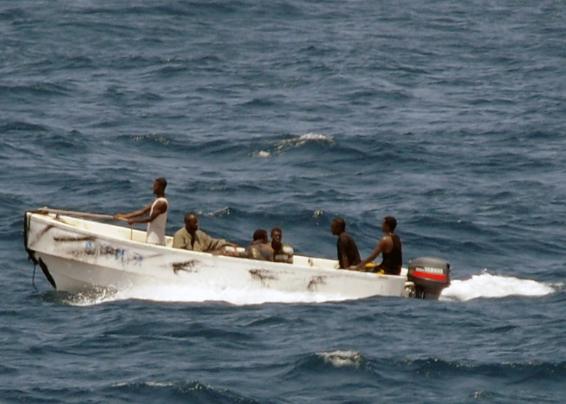
As pirate raids in the eastern Arabian sea dwindle and essentially cease, India is requesting international organizations change their official map of waters at risk for piracy.
At the height of the epidemic in 2010, the Joint War Committee of Lloyd’s Market Association increased the geographical scope of piracy risk to extend to 65 degrees east longitude. This same map was also taken up in industry best practices publications on how to avoid piracy.
While it may have been necessary then, India, along with Oman and Egypt, has recently called for a total re-evaluation of the map. India in particular is affected because this map has increased vessel traffic in waters that are vital to its population of local, small-time fishermen. The increased traffic has not only negatively impacted fish populations, but has even resulted in accidents that endanger the lives of the fishermen themselves.
In 2012, Italian marines killed two Indian fishermen in an incident that ignited international tension. The marines were stationed aboard an Italian-flagged oil-tanker that spotted the fishermen and mistook them for pirates. Although the case is still unsettled, Italian authorities have used the high-risk area of water to explain the marines quick trigger-fingers.
Although movement on the issue has been slow, India reports some progress is being made. There was a meeting held this past May and another scheduled for later this year. A likely compromise would be to slowly recede the high-risk area by moving it from 65 degrees to 78 degrees. Although this isn’t a perfect result for India, it would be better than nothing.
The international insurers are surely dragging the feet over this move: A smaller high-risk area means a smaller number of ships paying a high piracy premium for insurance. Especially since no incidents have occurred in this region for over a year, the risk of a pay-out due to an attack is very low.
The companies will surely try to hold on to this higher profit margin as long as they can, but the facts support India’s initiative, as does the overall drop in piracy in East Africa.
Latest posts by ATAC Global (see all)
- ATAC Range Day® 2020 - July 14, 2026
- ATAC Range Day® 2019 - July 14, 2026
- ATAC Range Day® 2018 - July 14, 2026
- Maritime Perimeter Defense - July 14, 2026